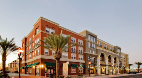
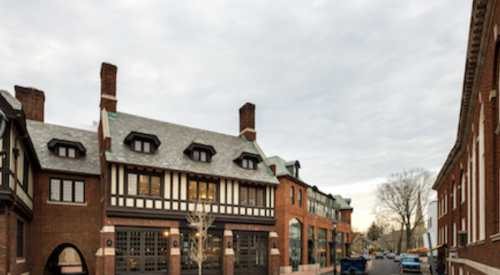
| The designers of the Hiawatha & 46th Street Station town center had to plan around heavy-duty power lines that run through the site but might be buried later. Image courtesy of Farr Associates Architects and Urban Design
|
Residents and business owners in the Hiawatha and 46th Street Station area in southeast Minneapolis were up in arms. They faced not just a proposed mixed-use community, but also the addition of a light-rail line and station and the widening to near-highway status of already busy Hiawatha Avenue.
Understandably, all these issues - all this change - comingled. The perceived changes to the community:
- The rail would bring the wrong kinds of people to the area.
- Housing would consist of high-density, low-income developments - two things the area's fairly conservative neighborhoods of largely single-family homeowners did not want.
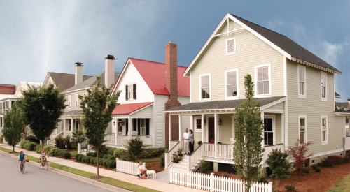
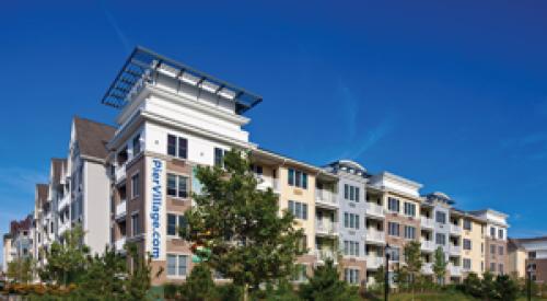
| North and south of the town center, the plan calls for townhomes, apartments and eight single-family homes that serve to soften the impact of the taller, higher-density buildings on the adjacent neighborhoods of single-family homes. Image courtesy of Farr Associates Architects and Urban Design
|
That's where Farr Associates Architecture and Urban Design in Chicago came in. The company was hired by Hennepin County and the city of Minneapolis as the master planner of the transit-oriented, mixed-use community within a half-mile of the rail station. The area in question is flanked by single-family homes, but the bulk of the development currently is one-story light industrial.
Farr Associates' charge was to lead a study aimed at finding out what the neighbors did want and come up with a development plan that the neighbors, the city, the county and all other entities involved would accept.
The six-month process consisted of four structured meetings in which participants performed a SWOT analysis (strengths, weaknesses, opportunities and threats) of the existing community; conducted an image preference survey (ISP) to determine the preferred housing, street scenes, sidewalks and retail; and completed a land-use survey to plot the preferred land uses on a land-use plan.
SWOT Analysis
The first order of business in those early meetings was to say little and listen more, to let the attendees vent. "This area had not had a lot of experience with master planning, and there was a lot of animosity to overcome - including trusting the governments," Minneapolis city planner Michael Larson says. "But we did have a pretty successful planning process that centered around place-making."
|
Doug Farr of Farr Associates echoes Larson in describing the situation at the meetings. "I'm in Minnesota, where people are supposed to be so nice, and at the first meeting we got attacked, accused of having a plan, told this collaborative meeting was all a sham, that there was a conspiracy, and so on. But after that first meeting, my hunch was that more than half the people embraced the opportunities that might happen as a result of this new line but differed on the scale and character of it."
Farr says a rule of thumb is that 20% of people will be against anything, and vocal opponents - especially those who are respected in the neighborhood - can hold a lot of sway. But he insists that people can be persuaded to collaborate once they understand that change will happen no matter what and that they can help shape that change.
As a group, the 120 people who participated in the first meeting were charged with identifying the existing community's strengths, weaknesses, opportunities and threats, and then prioritizing them. The community saw homeownership as the area's No. 1 strength. A lack of confidence in the public process was identified as the chief weakness. Making the new community pedestrian- and bicycle-friendly, creating housing that fit the neighborhood’s character and creating senior housing were the opportunities, and rumor of a preconceived plan was the main threat. The results of the SWOT remained posted for all meetings as a reminder of what the group had decided and as a guide to future discussions.
Drilling Down in Small Groups
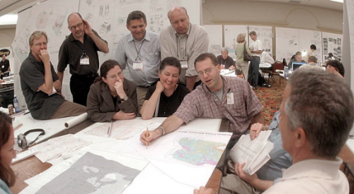
After the SWOT analysis and the ISP (see sidebar) were completed, the participants were divided into a dozen groups of eight to 12 people, each with a facilitator from the city, county or consultant team, and often with a community member who had been briefed on the evening's tasks. Each group’s goal was to come to consensus on a land-use plan, with specifics on land uses, building heights and types, parks, streets, etc. After working in small groups, the participants reconvened to share their plans.
Farr found that as vocal and argumentative as people could be in a large group, small groups tended to work toward a solution.
By the third meeting, the consultant team had created development scenarios based on input from previous workshops. Each small group had to come to a consensus on one scenario, keeping in mind the results of the SWOT and the ISP. The larger group came together again, discussed the options and finally decided that a town center plan would best fulfill the community's and the city's, county's and eventual developer's needs, and provide the residential and retail support the new light-rail line required. After fine-tuning, the plan was presented at the final meeting and approved.
The town center will consist of three- to four-story buildings around a town square, with retail on the ground floor and apartments and condominiums above. The plan also calls for townhomes, apartments and eight single-family homes, as well as a tot lot, neighborhood park and a bioswale alongside an existing rail line. From here, the project team will reconvene a group of residents as a project review committee to resolve implementation issues and evaluate development proposals.
